
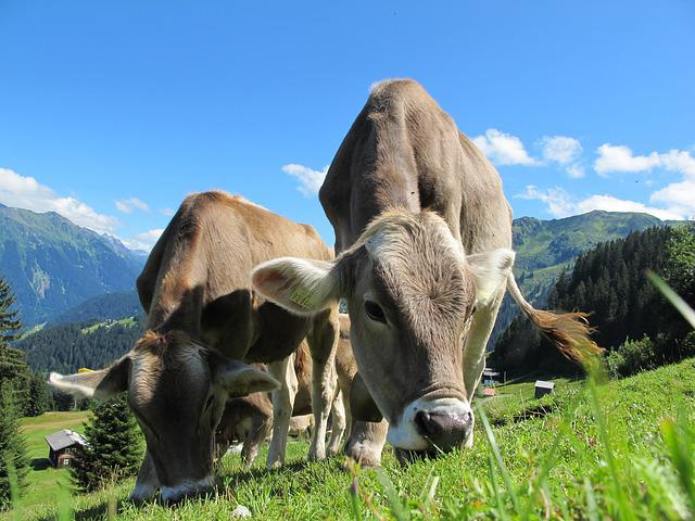
Pasture Management
Back to the Homepage
Ag-Intel
Automated Pasture Management
Pasture management has never been easier. Using frequently updated satellite imagery, local weather data, and our advanced algorithms, Ag-Intel provides an all-in-one solution for organizing your grazing schedule, rest periods, reseeding, and even identifying toxic plants and troublesome weeds.

Accurate Data. No Guessing.
Our satellite imagery and A.I. make it possible for you to automatically:
- Estimate Ground cover %
- Estimate Forage remaining per animal in each paddock.
- Monitor cover health & erosion data
- Monitor your fire belt
- Maintain accurate weather data (rainfall, solar radiation, etc)
- Forecast growth in each paddock moving forward
- Detect Toxic or invasive plant species