Herd Management
Back to the Homepage
Ag-Intel
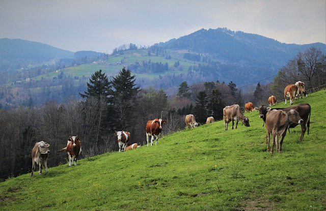
Track Herd Behavior
Use the online dashboard to create a grazing schedule, maintain records of herd movements, and plan rest days.
Workers in the field can also easily access a GPS enabled map of your property, fences, gates, and water valves.

Satellite Integration
Using Ceres-Tag Satellite tagging system we can more accurately track your herd, monitor their behavior, and estimate your daily stock and carrying capacity.
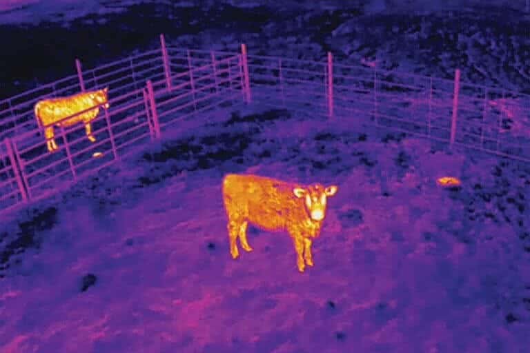
Drone Surveillance
UAV Technology is another ideal solution for getting a birds-eye view of your property and herd. For properties with more cover or tall grass, a drone equipped with an infrared camera is an excellent way to locate animals in the field.