Field Mapping and Planning
Ag-Intel
Field Mapping and Planning.
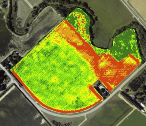
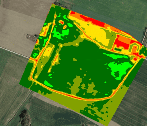
Mapping out new fields and plotting out your best plantable zones with the highest potential for future yield can be a time consuming and laborious process.
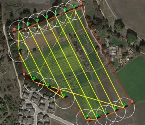
Ag-Intel’s cutting edge agricultural drone technology makes getting the whole picture, easy.
Harness the power of our proprietary AI technology to give you the data you need to make the best possible planting decisions.
As all growers know, there are many factors that go into determining the best possible location when planning and mapping your field. Different strains require slightly different conditions to produce their maximum yields, and every grow site has variances that take significant time to detect, record and analyse manually. All of this makes mapping and plotting out the best field site a painstaking process.
Speed up your decision making, and make better choices by unlocking the power of your data.
Contact Ag-Intel today to find out more.
Ag-Intel
Get More Information.