Field Expansion Planning
Back to the Homepage
Ag-Intel
Cannabis Field Expansion Planning.
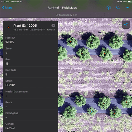
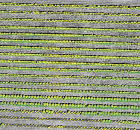
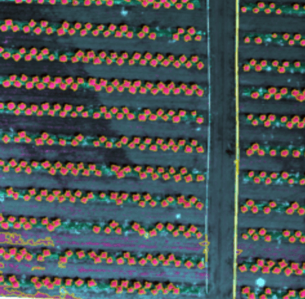
Ag-Intel’s Field Mapping and Planning Service is the first step towards a full production dashboard. To ensure your field is geo-referenced, we’ll create accurate, survey grade, high-resolution maps, reports, as well as real-time 2D live maps for immediate analysis. Then, with the appropriate zones established, Ag-Intel then simplifies the creation and ongoing management of the various strains in the different zones.
From those topographic files, we compute vector maps with distances, angles, and contour lines to represent the different field elevations allowing your master growers to take advantage of your field’s natural geography
Ag-Intel
Get More Information.


